Red Pawn Shop
Digital TTRPG Map: Harlaessa Sea
Digital TTRPG Map: Harlaessa Sea
Couldn't load pickup availability
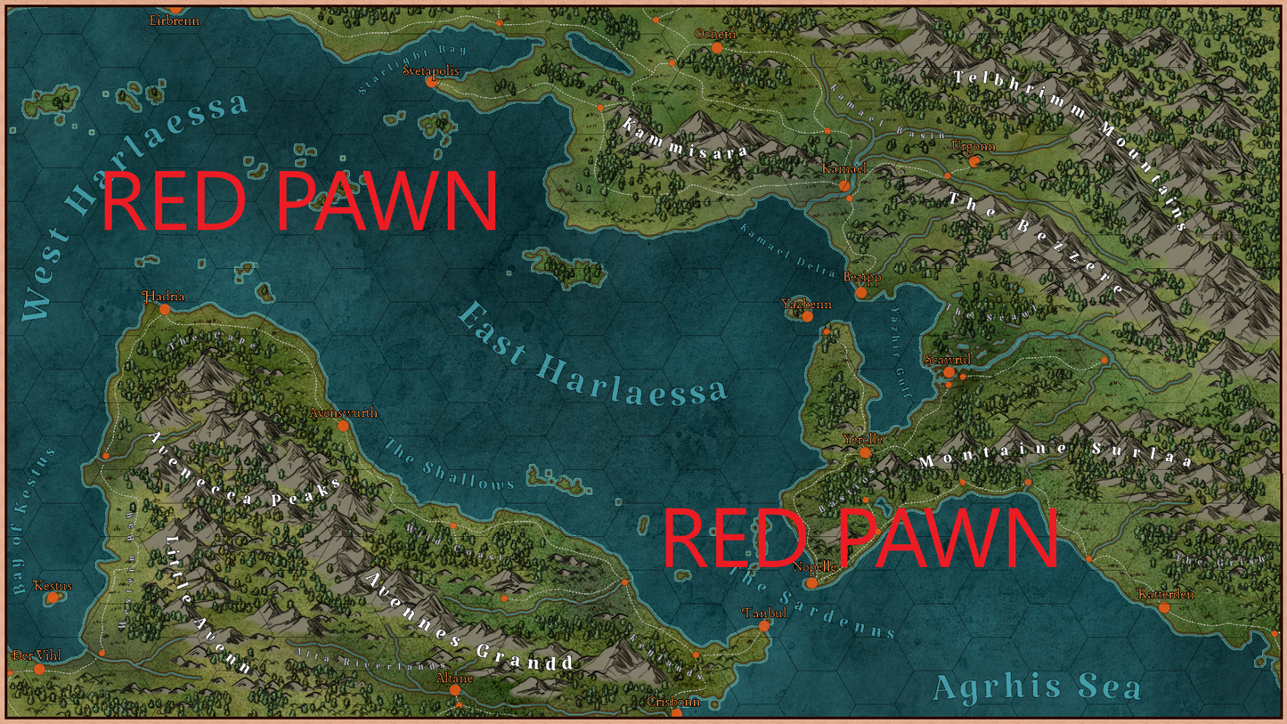
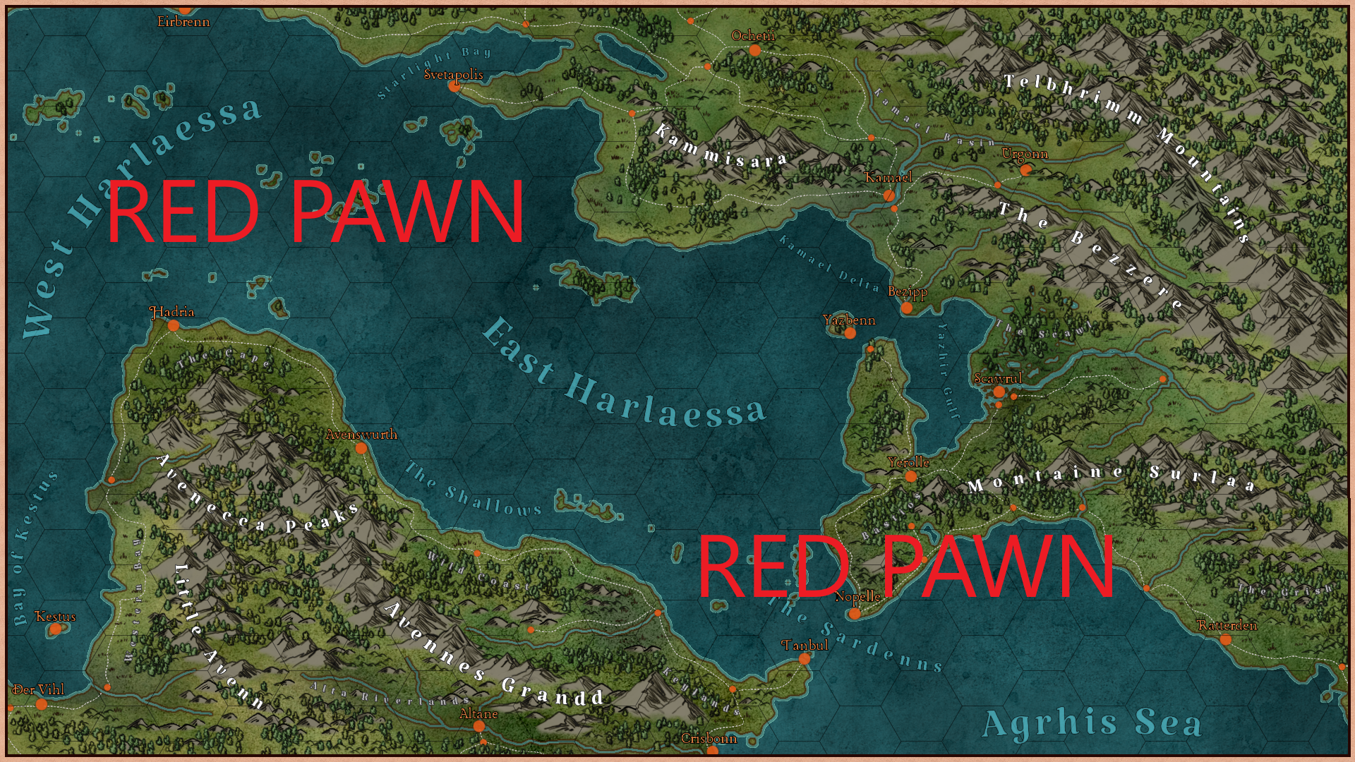
A map featuring a region similar to the Black Sea and the Dardanelles Strait. Multiple cities are labeled, with smaller towns being noted on the map, but not named. There's plenty of room to add points of interest and all kinds of environmental cues displayed on the map to assist with encounters. Digital maps are great for Digital Tabletops like Roll20, but are also super handy when you and your friends are playing through Discord or just using your laptops while around the same table.
I am aiming to provide some nice campaign settings while taking as much of the work off of the game master as possible. They have to think of NPCs, plot hooks, religions, and all kinds of other stuff to put the world together- so I thought I would lend a hand by providing a backdrop for all of that stuff. The map is broken into hexes that are 100 DPI each, and the map itself is 1920x1080 for high-resolution viewing. Being able to properly zoom in on a map makes a world of difference (no pun intended). While no scale is provided, I followed the old rule that one hex= one day of travel (unimpeded).
Features:
- Multiple major cities with names
- Multiple minor cities/towns with no names
- Mountains, forests, fields, rivers, and swamps
- An open ocean meeting a narrow strait that grants access to an inland sea
- Major roads are laid out between the cities
- Plenty of room for encounters, additional POI, and adding your own ideas
- Hex grid layout
- 1920x1080 pixels for high-resolution viewing.
Share

Your purchase removes 1 lb of plastic waste from the environment.


